Construction Imaging
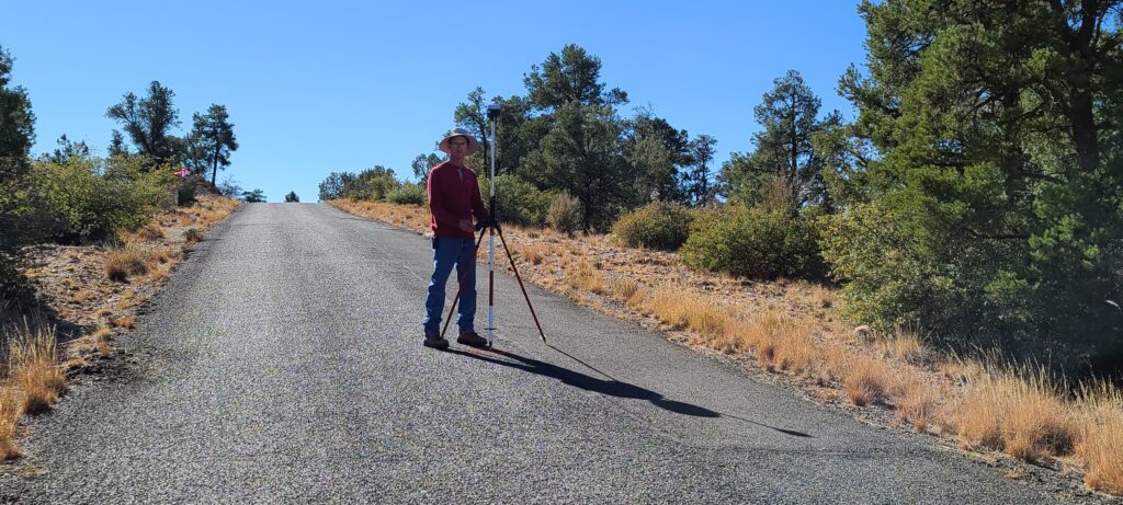
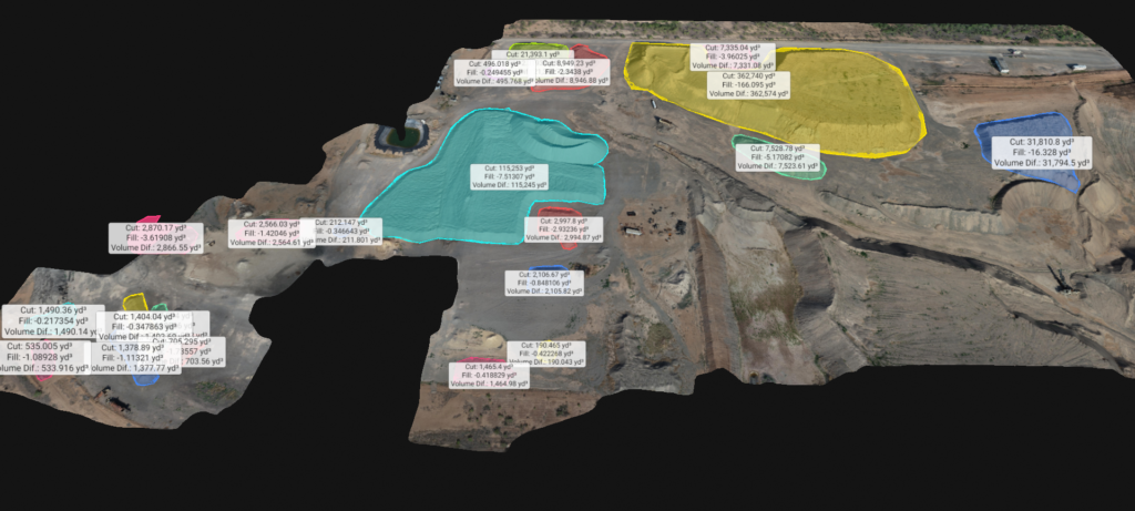
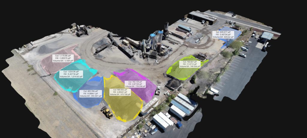
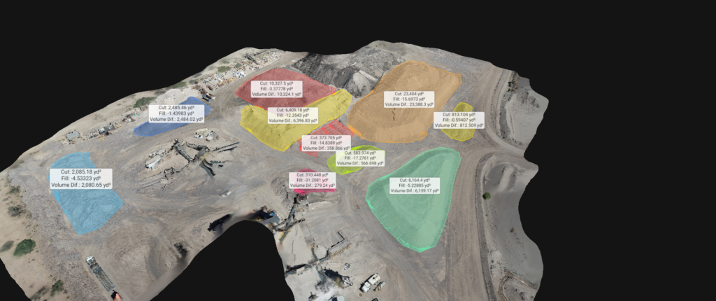
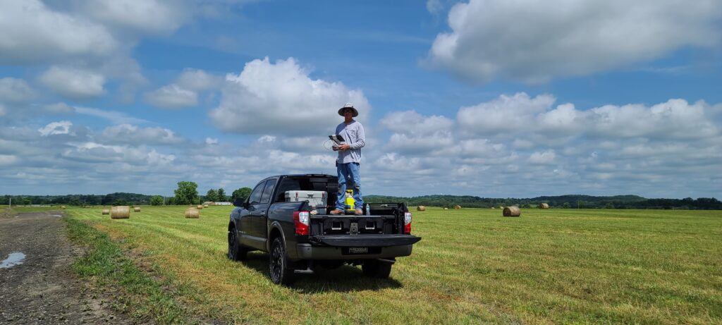
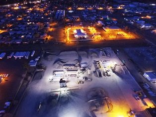
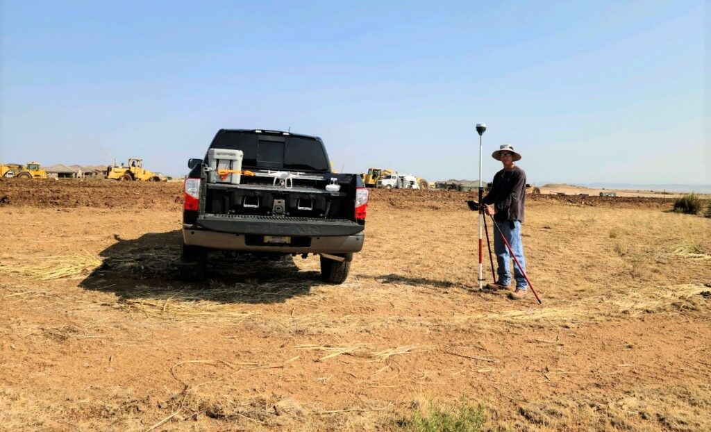
FlagAerial offers aerial mapping for all your topographical needs, including on-site data collection to construct the design and layout. FlagAerial also works with several mining and asphalt producers around Arizona and Texas, doing monthly volumetric checks to maintain stockpile inventory.
Successful Projects, Every Time
Leveraging the latest technology and the skills of our team, we offer accurate results in our services. Our professionals work every day to understand our clients’ challenges and ensure successful delivery of the projects every time. Please reach out to us for more details.
FlagAerial, LLC. is NOT an RLS company, we work with several Registered Land Surveyors throughout AZ to complete your survey needs.
Aerial Drone Survey Services Flagstaff Prescott Arizona.

